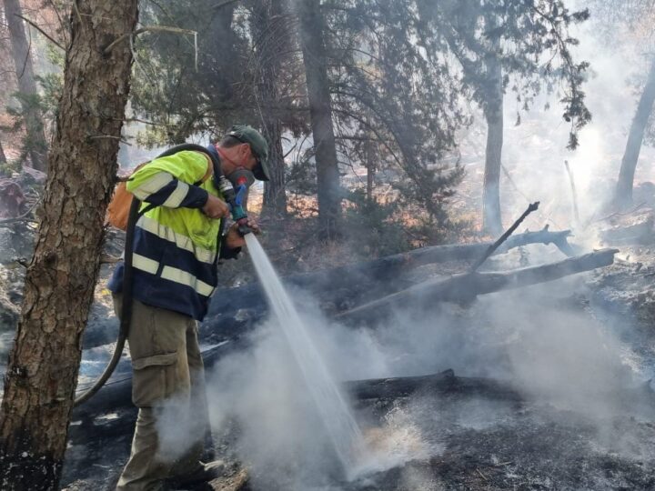
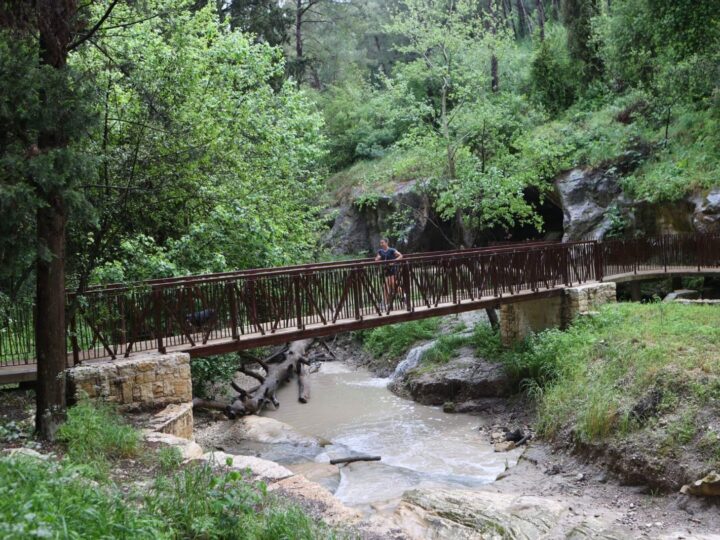
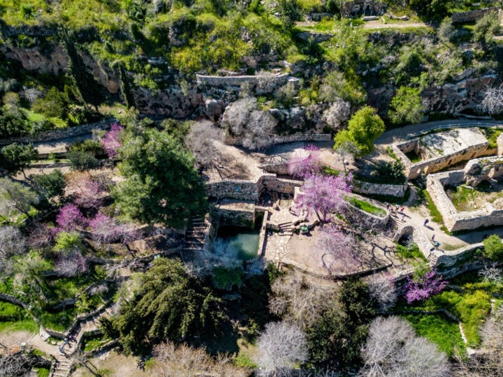
On a recent rainy day in early December, a group of forestry and fire protection experts from the KKL-JNF (Keren Kayemeth L’Israel-Jewish National Fund) gathered on a hill north of Moshav Nir Ezion in the Carmel Mountain Range.
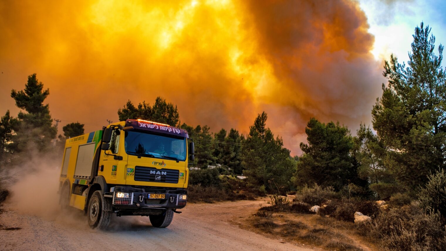
The date and location were by no means a random choice. It was near here, on the second of December 2012, that one of the most catastrophic fires in Israel’s history broke out.
In just four days the flames had spread over 40,000 dunams (9,900 acres), from the Druze village of Usfiya all the way to the outskirts of Haifa.
The blaze caused the deaths of 44 people, the evacuation of 17,000 people and the destruction of 1.5 million trees.
When the smoke had cleared, the State Comptroller at the time found there had been “significant, fundamental and severe” inadequacies from firefighting capabilities to the highest governmental level.
Fewer wildfires
A lot has changed since then. Most important, there’s been a drop in wildfires, according to Rami Zaritsky, KKL-JNF’s head of forest fire safety.
“In 2020 there were 1,020 wildfires stretching over 60,000 dunams [150,000 acres]. This dropped to 814 in 2021 and this year it was 448 fires over 18,900 dunams [46,000 acres],” he tells ISRAEL21c.
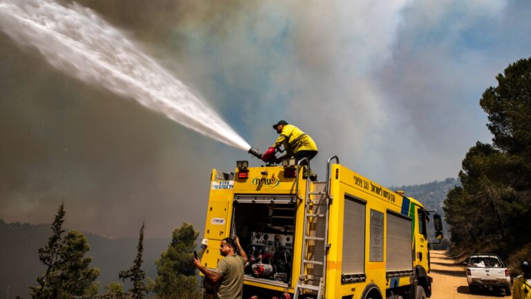
Gilad Ostrovsky, director of the KKL-JNF’s Forestry Department, believes the drop in wildfires can be largely attributed to a strategy change, with an emphasis on early detection and fast response time, as well as innovative technology.
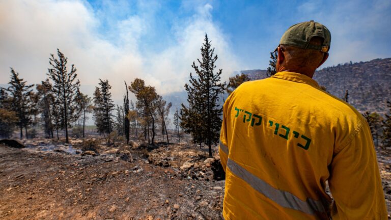
The KKL-JNF’s key arsenal in containment of fires before they spread out of control is the Tinshemet-Toren thermal imaging system, which has been in operation for the last three years.
The Tinshemet (barn-owl “as it sees everything from above”), is a drone which hovers 100 meters above ground to gather data and share it in real time in any visibility conditions including dark.
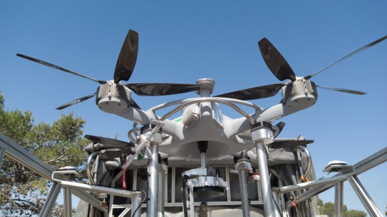
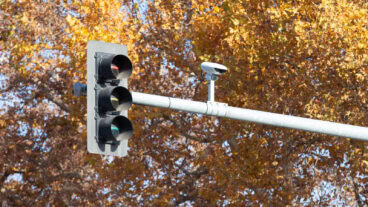
It works in tandem with the Toren (“mast”), a powerful thermal camera hoisted on a 10-meter mast attached to any mode of transport, making it mobile. A newer model will soon be in operation that reaches 30 meters.
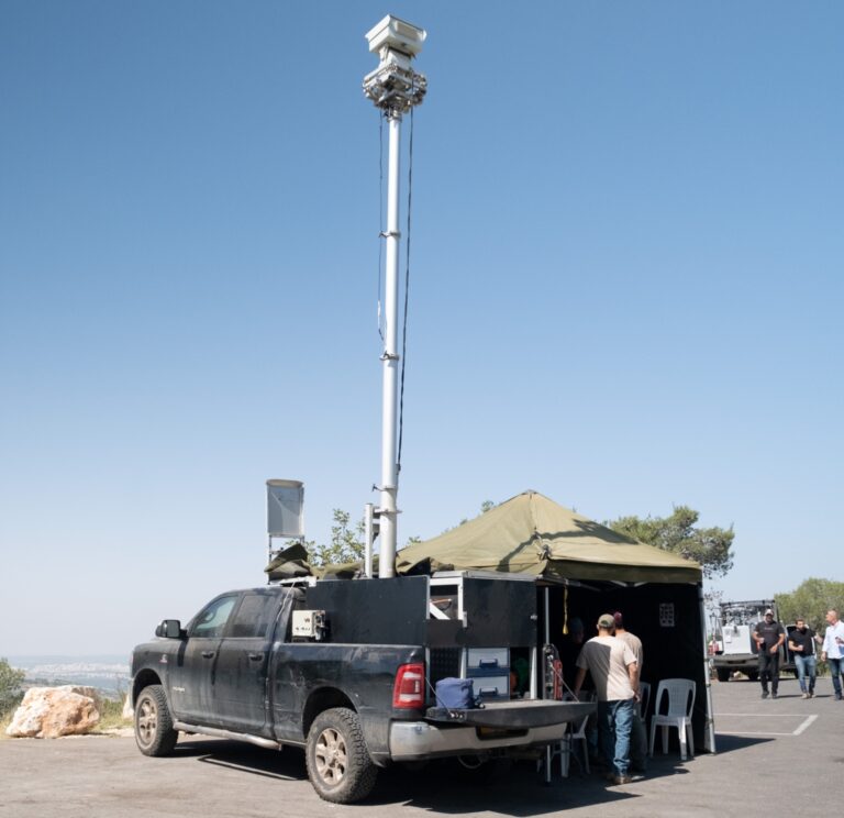
These two devices detect any irregular heat or movement and pinpoint its exact location within a 100-kilometer radius, from “the smallest lit cigarette to a fire,” says KKL-JNF’s Enforcement Manager Haim Tepperberg. “We recently located a fire during a scan from Megiddo to Tel Azeka, 120 kilometers away.”
Live demo
ISRAEL21c got to see a live demonstration of the system.
Rami Zaritzky instructs a colleague waiting on the hill opposite to light a controlled fire. Toren, the mounted thermal camera, picks it up immediately and deploys the drone to investigate.
Inside the van on which it is mounted, a screen shows live video footage from the drone of the fire and surrounding areas. Another screen displaying information provided by the camera shows a gray image and a black dot indicating the fire and its precise location.
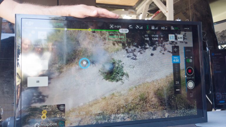
“This is the kind of invaluable information that will help us direct firefighters to approach and leave from the safest routes. Often it’s not getting to the fire that is a problem, it is finding a safe passage to exit the area,” says Moni Katz, who took part in developing the system.
Breaking the fire
The second part of the KKL-JNF fire protection strategy is to slow fires by way of fuel breaks.
Fuel, in this instance, means vegetation, explains Mor Ashkenazi, KKL-JNF’s chief fire prevention officer who has a master’s degree in plant science from Hebrew University.
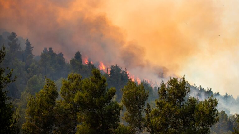
“Fuel breaks are buffer zones whose purpose is to protect settlements and save lives by creating areas with different densities and species of trees,” he adds.
Grazing animals are used to help thin out vegetation, but a substantial number of trees have to be cut down to create a real fuel break.
Ashkenazi gives the example of the area of vegetation around the village of Usfiya, where the vegetation was scaled back for 30 to 40 meters.
“To date, our management action plan has identified the main risk areas for fires in Israel and has treated 90 percent of the communities in danger zones by creating fuel breaks,” he says.
People don’t always react well when they see trees being cut down, Ostrovsky acknowledges.
“People see KKL foresters destroying parts of the forest and we have to convince and explain to them that it’s for their own safety.”
There is also skepticism about what trees were chosen to be planted in those early years of the State. Was it a mistake to plant pine tree forests?
Pine trees were a good initial choice, Ashkenazi says, as they “are one of the only trees which could deal with the heat here. When they mature and grow tall they provide a good environment for broadleaf trees such as oaks, white strawberries, figs and pistachio to grow beneath them. This creates a complex forest which is more resilient to fires.”
“Forests give so much ecological service for our environment, but with climate change we have to be very careful how we expand them and not endanger lives,” Ashkenazi warns.

