Israel’s first satellite to study the environment was launched shortly before dawn yesterday (August 2) from the European Space Center at Kourou, French Guiana.
An hour and a half later, the satellite Venus (short for Vegetation and Environment Monitoring on a New Micro Satellite) successfully separated from the launcher and entered its orbit. At 10:30, the satellite passed over Israel and transmitted its first surveillance message.
Images are supposed to begin arriving from the satellite in about a week and the first ones will be taken over Israel.
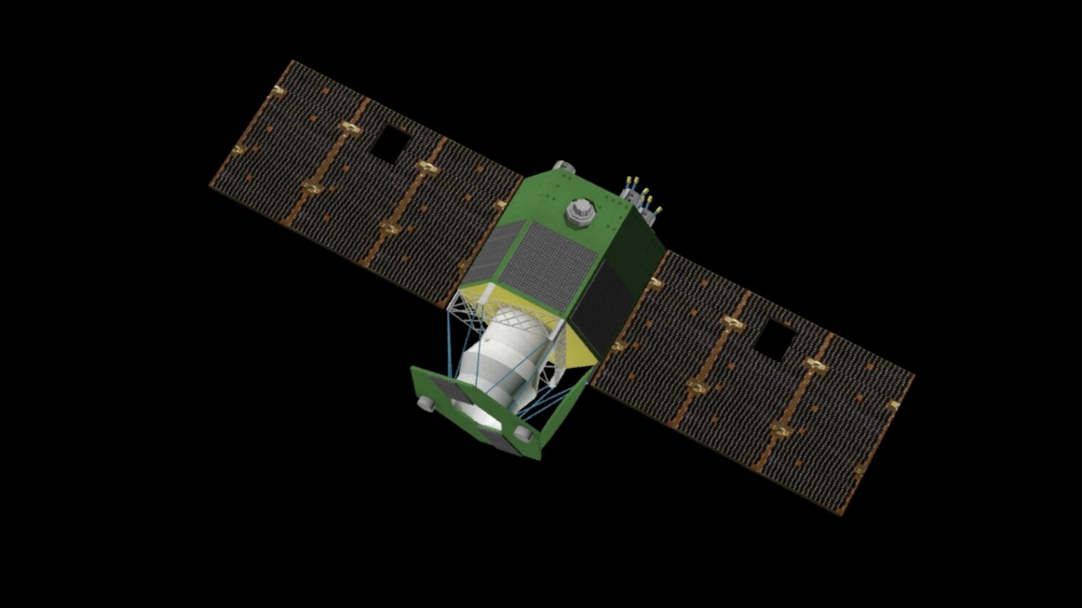
Venus, a joint project of the Israel Space Agency and the French space agency CNES, was announced in December 2014 and was built by Israel Aerospace Industries.
The ultra-lightweight satellite’s main purpose is to provide unprecedented imaging for environmental research purposes. It will monitor the state of vegetation, afforestation, farmland and water in about 110 areas around the globe, using a special camera that can capture invisible details.
The camera, developed by Israel’s Elbit Electro-Optics (Elop) for CNES, takes 12 simultaneous images of the same location — each in different spectral bands, including those in the near-infrared range. These separate images are processed into one very precise complete color photograph.
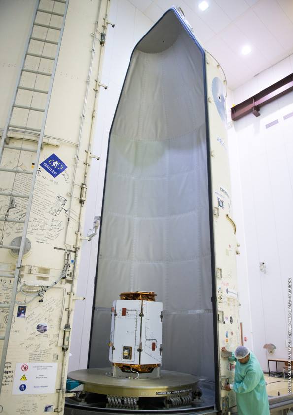
Venus is supposed to send back dozens of images every day, each of them covering approximately 760 square kilometers. Aspects that obscure the picture, including clouds and aerosols, will be automatically eliminated.
The satellite’s near-polar orbit will enable returning multiple times to image each area exactly at the same time and under the same conditions, a world-first capability.
By analyzing and comparing the images taken from the same location, researchers hope to be able to assess the state of the soil, understand how vegetation is developing, estimate water requirements and yields, map forest fires, monitor glacier movement and detect plant stress, disease or contamination in the field.
Images specific to Israel will be received, analyzed and archived at the Ben-Gurion University Remote Sensing Laboratory, an operation site of the Science and Technology Ministry. Prof. Arnon Karnieli, lead researcher on the satellite project, heads the laboratory at BGU’s Jacob Blaustein Institutes for Desert Research.
“The satellite is uniquely suited for monitoring agricultural crops in accordance with the concept of ‘precision agricultures,’ offering high-spatial resolution of 16 feet (five meters) and a 48-hour revisit time,” says Karnieli. “This concept allows a farmer to see the spatial and temporal changes of his crops not just on the scale of the entire field, but on an intra-field scale of small plots. It will help conserve resources and protect the land and groundwater from surpluses of water, fertilizers and pesticides.”
Venus was designed to operate in space for four and a half years, after which it will be diverted to a lower orbit. It is unusually small, measuring only 1.7 by 1.2 meters with a wingspan of 4.4 meters when the solar array is extended.
“Venus is another testament to Israel’s tremendous technological capabilities in all fields,” said Minister of Science and Technology Ophir Akunis, who watched the launch in the IAI control room in Yehud. The Israel Space Agency operates under the aegis of the ministry.
Venus is powered by an experimental plasma-based electrical propulsion system developed by Rafael Advanced Defense Systems to save on fuel. In case of malfunction, it has a backup regular chemical propulsion system.
The satellite will be operated from four ground facilities located in Tel Aviv and Haifa in Israel, as well as from Toulouse in France and Kiruna in Sweden.


