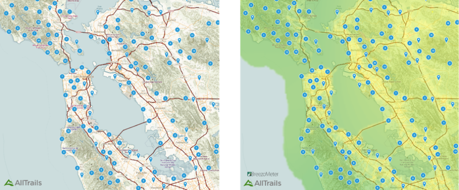
You want to go for a hike but the air looks smoggy. Do you stay indoors or hit the trails? A new partnership between Israeli air-quality monitoring platform BreezoMeter and San Francisco-based app Alltrails will let you know if it’s safe to hike today.
Alltrails collects maps, photos and trail reviews from a community of 6 million registered hikers, mountain bikers and trail runners. It is the No. 1 app in the Outdoors category in both the iPhone and Google Play app stores, with 7 million mobile downloads. There are now some 50,000 trail maps on the platform, which launched in 2010.
BreezoMeter will now add color-coding to Alltrails’ maps to indicate air-pollution levels. Green areas have better air quality while yellow and orange are more polluted. Numbers also appear indicating the number of available trails in an area.

Alltrails’ chief marketing officer Ron Schneiderman called it “a really cool new real-time dimension to our trail data,” adding that “with air pollution becoming an increased health concern, this data is integral to informing our users of local air-quality conditions and keeping outdoor enthusiasts healthy while out on the trails.”
“Real-time” is an important part of the BreezoMeter system, since air quality can change throughout the day, affected by traffic, weather, wind, fires, sand and dust storms. BreezoMeter provides data on 17 pollutants and three types of pollen.
ISRAEL21c wrote about BreezoMeter when the company launched in 2014. BreezoMeter has headquarters in Haifa and has raised $4.8 million in two rounds.
BreezoMeter data will be available for paying Alltrails Pro users.
Fighting for Israel's truth
We cover what makes life in Israel so special — it's people. A non-profit organization, ISRAEL21c's team of journalists are committed to telling stories that humanize Israelis and show their positive impact on our world. You can bring these stories to life by making a donation of $6/month.


