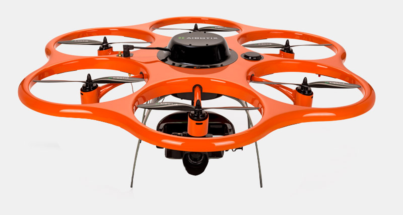
A new Israeli technology that enables architects to map buildings from the air, match the measurements to within 10-cm, and convert the coordinates into 3D building models has the architecture community abuzz.
The Flexijet mapping technology is said to be best used on refurbishments and preservations.
The Israeli team behind Flexijet worked on the new Building Information Modeling measuring technology for two years. To date, some 1,600 architects around the globe are using this system to reconstruct 3D building models and cut down follow-up time in the office.
Until now, architects tended to use a laser mapping system to record architectural interior flaws and configurations. However, Flexijet says that method is slow and tedious.
The new drone mapping technology – which uses proprietary algorithms – is much quicker and more exact, says Flexijet.
“The process is based on a number of measurements and patented algorithms recorded at the building site. A number of teams conduct simultaneous measurements of the site using different technologies and at the end of the day feed the results into one file. This significantly cuts down the time for a project,” says Doron Ben Herzl, founder of Flexijet.
The company also says that the new tech provides better building measurements that cannot be achieved by using manual measurement, laser scanner or tachymetric measurements.
https://youtu.be/CiF_0JZ-tv8
Fighting for Israel's truth
We cover what makes life in Israel so special — it's people. A non-profit organization, ISRAEL21c's team of journalists are committed to telling stories that humanize Israelis and show their positive impact on our world. You can bring these stories to life by making a donation of $6/month.


